
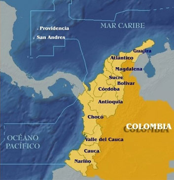
| SUCRE | ||
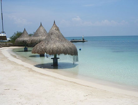
| Location | Caribbean coast |  |
| Capital | Sincelejo | |
| Extension | 10,670 km2 | |
| Population | 870,219 | |
| Institutions | Corporación Autónoma Regional de Sucre | |
| Stations | 24 | |
| Contact | Orlando de la Ossa. Carrera 25 No. 25- 101, Av. Ocala, Sincelejo. PF:(+57) (+52) - 749995 - 749988 | |

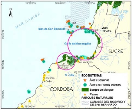
Main Rivers
Pechelin, Villeros, Caño Guainí, Zaragocilla, Guacamaya, Alegría.
Coastal Cities
Tolú, Coveñas y San Onofre
Pollution sources
Solid waste landfills, agriculture and livestock, wood processing, sewage treatment plants, submarine wastewater disposal, fisheries, shrimp farms, port activities, hidrocarbon transportation, industry, gas stations and slaughterhouses.
Sampling Stations

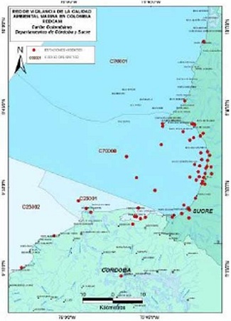
Sampling Stations

members
© 2011 INVEMAR. Cerro Punta Betín - Sta Marta, Colombia A.A. 1016 P: (+57)(+5) 432-8600 F: (+57)(+5) 432-8682
This interactive project was created for educational purposes at The Art Institute of Atlanta-Decatur and is in no way intended for commercial gain or as a source of public information.
© 2011 Ana Maria Velez. amvedition@yahoo.com