Marine Environment Information System of Colombia
During 10 years the REDCAM members have collected infomation from 1,562 points along the Caribbean and Pacific coasts of Colombia. The data base developed was linked to a geographic information system that let us get graphic representation of the behavior of the variables during the different seasons by point, region, department or coast.
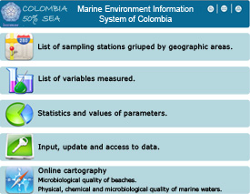
Maps and graphics can be pulled by selecting stations, variables or season.


Reports
2009 - 2008 - 2007 - 2006 - 2005 - 2004 - 2003 - 2002 - 2001
The reports show the results of every year monitorring activites, summarized by coast and presented extensively by deapartment.
Books
Atlas de la Calidad de las Aguas Marinas y Costeras de Colombia.
National Program for Research, Prevention, Reduction and Control of Marine Pollution Sources, PNICM
Proposal and Design of a Marine Environment Indicators System of Colombia, SIGEIN
Manuals

REDCAM report

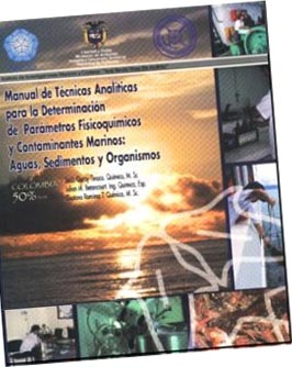
Analytical Techniques Manual
© 2011 INVEMAR. Cerro Punta Betín - Sta Marta, Colombia A.A. 1016 P: (+57)(+5) 432-8600 F: (+57)(+5) 432-8682
This interactive project was created for educational purposes at The Art Institute of Atlanta-Decatur and is in no way intended for commercial gain or as a source of public information.
© 2011 Ana Maria Velez. amvedition@yahoo.com


