
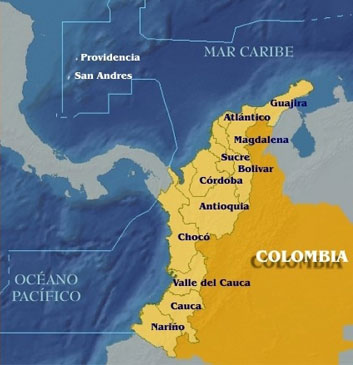
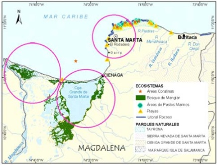
| MAGDALENA | ||
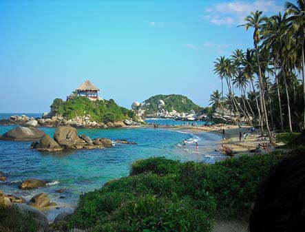
| Location | Caribbean coast |  |
| Capital | Santa Marta | |
| Extension | 23,188 km2 | |
| Population | 1'406,126 | |
| Institutions | Corporación Autónoma Regional del Magdalena | |
| Stations | 24 | |
| Contact | Orlando Cabrera. Avenidad Libertador No. 32 - 201, Barrio Tayrona, Santa Marta. PF:(+57) (+5) - 4211395-4211680-4211344 | |

Main Rivers
Manzanares, Gaira, Córdoba, Toribio, Buritaca, Don Diego, Guachaca, Piedras y Mendihuaca.
Coastal Cities
Santa Marta, ciénaga, Sitio Nuevo, Pueblo Viejo.
Pollution sources
Port, maritime transportation, coal transportation, hidrocarbons handling and transportation, agriculture, tourism, submarine wastewater disposal, solid waste landfill.
Sampling Stations

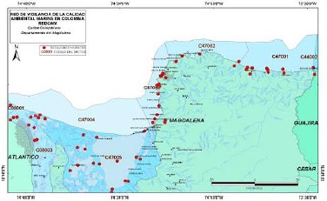
Sampling Stations

members
© 2011 INVEMAR. Cerro Punta Betín - Sta Marta, Colombia A.A. 1016 P: (+57)(+5) 432-8600 F: (+57)(+5) 432-8682
This interactive project was created for educational purposes at The Art Institute of Atlanta-Decatur and is in no way intended for commercial gain or as a source of public information.
© 2011 Ana Maria Velez. amvedition@yahoo.com